Wednesday 15 April 2015

Somewhere near Pemberton...

April 14th 2015

There is a particular peak not far from here which grabbed my eye when I first spied it a few years ago. Without a sled access is difficult (by which I mean long) but the thin snowpack at low elevations this year has made it a bit more accessible.  Rumour has it that certain local skiing luminaries would quite like to keep this area off the radar.  I'm not 100% about how I feel about that kind of attitude with regard to skiing zones, especially since I love sharing my adventures so much, but for now I'm going to take the middle ground and share the photos but with very few descriptions.

Our first view of the objective from the approach road.

Spines and the moon

Some sweet couloir.  The terrain up here is bigger than it looks, that couloir is over 600m of vert.

Due to the size of the terrain it took hours to traverse around the big face.

Awesome views.

A sweet shot of what we skied last week.

Once we made the ridge line the going got easier, but it still took about 2 hours to reach the summit from here.

Jamie near the top.

Summit Stoke Selfie.

Crazy terrain on and around the main face.

Big lines

Unskiable gnar

This stuff looks like it could be fun and skiable, but the photo doesn't do justice to the steepness and exposure.

Even the open bottom half of the face is huge.

The line we skied

The whole face in the afternoon sun.

Stoke!

Rethel and Parkhurst Couloirs

April 8th 2015

Its been a big week in the Coast Mountains.  The skies have been blue, and the snow quality is far higher than it has been at any other point all season.  As far as I can tell, almost ever major peak and big line in the sea to sky has been skied by hungry enthusiasts just this past week.  Fitzsimmons, Wedge, Twin One, Alpha, Serratus… People have really been getting after it. Luckily I had a little plan of my own which I have been sitting on for a couple of years, just waiting for conditions to line up right.  Obviously we aren't the first crew to put this link up together- I believe it was a big hit with the now defunct Renegade Heli club a few years ago, but its still a little off the beaten track… despite its proximity to the resort.  The plan was to charter a heli from Blackcomb aviation for a drop on Rethel Mountain, and ski the Rethel couloir. I have skied this line twice before, once from a heli drop and once when Benoit and I bootpacked it from the bottom in a gruelling 12 hour day… But the interesting part was going to be then looping around and skiing the Parkhurst Couloir, which as far as I know sees considerably less traffic.

Some people claim it is cheating. I say Whatever Trevor!

Despite the joys of the heli drop, the summit of Rethel lies within the Garibaldi Provincial Park, so you have to get dropped it tree line on the park boundary.  It is about a 600m climb to the summit, which took us about 2 hours.

Steve enjoys a view of Wedge from near the top.

The Parkhurst Couloir as seen from the summit of Rethel

Strong crew, strong views.

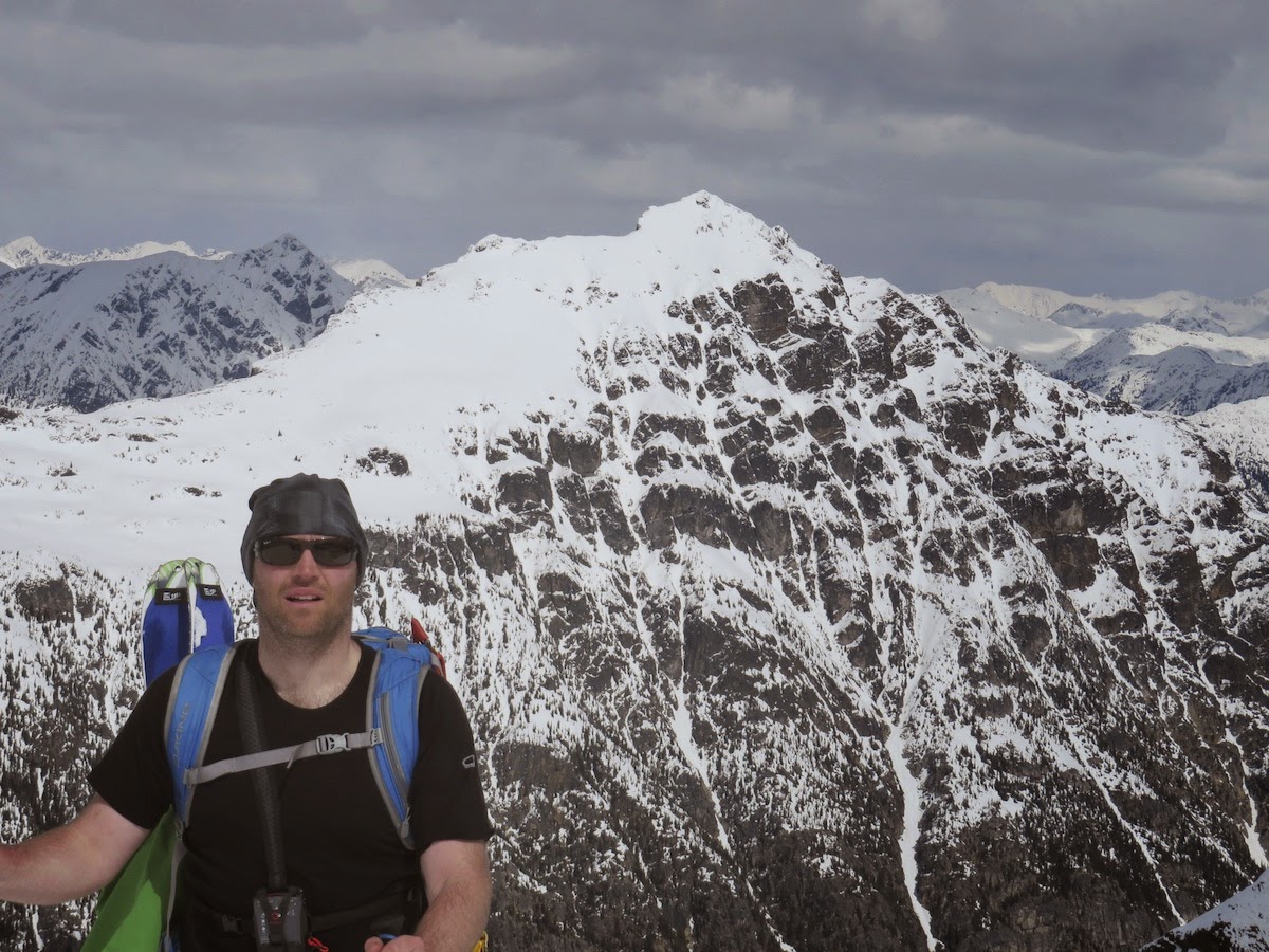
Weart and the Armchair Glacier, always a treat to behold.

The couloir begins a little way down from the summit.  We dug a quick bucket seat anchor and I roped myself to the edge.  I was very pleased with what I found!

Steve on the rope about to rappel.

The cornice was freakin' huge.  We used two 20m ropes tied together, and they still didn't reach the ground until tensioned with the weight of a person.

Cory skiing the couloir. Note the tiny dot which is Steve at the bottom.

Looking back up you can see the size of the cornice.

After skiing Rethel we split into several groups. Cory decided to go and chill solo at the Wedge Hut. Benoit, Benat and Cedric decided to boot pack a couloir on the lookers right of Parkhurst. Steve and I skinned up the glacier to the Wedge Parkhurst col with an eye to skiing the central couloir. This climb was pretty easy, and we skinned all the way from the lake to the summit of Parkhurst in under 2 hours.

On the summit of Parkhurst with Wedge behind.

First few turns down the Parkhurst couloir.  This is one of the gnarliest lines I have ever skied.  Extremely steep (approx 50 degrees) Extremely narrow, and it doesn't run in a straight line, so if you fall you will be bouncing off the rock walls the whole way down.

It's also extremely long!  Approx. 500m of sustained couloir skiing.

From near the cabin, the 600m Rethel Couloir.

And the 500m Parkhurst couloir. Not quite as long, but definitely steeper, definitely narrower, and definitely scarier!


Chilling at the cabin before the walk down.  We skied the top pitch as far as tree line and then switched to boot packing.  Took about 2 hours to reach the parking lot, but everyone was in high spirits after a great day.

Back at the bus, exhausted but stoked!

Mt Ronayne

April 7th 2015

Nick and I were actually planning on skiing a different peak today- one which we had spied previously on a fall-time trip to Tenquille Lake. As it turned out fate had other plans for us, and after some terrible/non existent map reading on our part, we ended up at the end of the wrong logging road.  It all looks pretty similar in this zone thou; one big north face looks just like the next big north face, and it wasn't until we gained a ridge line almost 4 hours in and checked out position on Google Earth that we realised our mistake!  Pretty unacceptable navigation from guys of our experience, but it ended up being a real treat. The north face of Ronayne is now firmly in my top 10 favourite runs of all time.  The blower pow probably helped….

Enjoying some birthday cake at the end of the logging road, before we set of. 730am.

After half an hour of skinning on the road we get our first view of the Peak. At this point we thought we were looking at Sun God.

The peak is covered in uber-gnar features on all sides.

It took a good long while to wrap around the bottom of the face.

About 3 hours in.  Still didn't know we were on the wrong mountain at this point!

Summit Stoke Selfie.  Once we made it to the South West ridge (and realised we were no where near where we wanted to be) it only took about an hour of easy skinning to reach the summit.

Nick on the summit with Sun God Mtn behind.

The Summit was pretty cool, and we were able to ski right off the top with no problems.

Looking down the loooooooong line that we were about to ski.

2 turns in and I realised the snow was really something special…

The line was perfectly steep- I would estimate around 40 degrees, and the snow quality was beyond compare.

The line was nice and wide, so you could open it up and avoid your slough, but it still had big rock walls which gave it a couloir type feeling.

Needs no explanation.

Nick gives it some mustard on the big face.  The line had no convexities, which meant you could see all the way to the bottom from the very top.  This really helps with the confidence.

The snow quality remained high all the way back to the road at around 1400m.  The snow quality in the Whistler area was not holding up so well at elevations this low during the week.

A quick bushwhack though the forest and we were back on the road for an easy glide back to the car. Six and half hours round trip, one of my favourite days skiing ever.